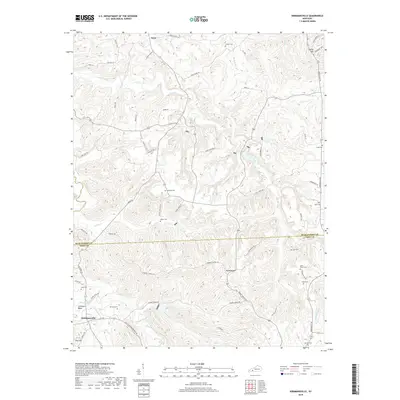
2019 Map of Kirkmansville
USGS Topo · Published 2019About this map
Kirkmansville and Weir anchor this corner of Western Kentucky, where the landscape is defined by the winding course of the Pond River and its numerous tributaries. The terrain transitions from the low-lying reaches of Johnsons Bend and Caney Cr to the prominent elevations of Rapid Ridge and Poe Hill. The map reveals a deeply established rural pattern, with a high concentration of small family and community burial grounds including Heltsley Cem, Elkins Cem, and the Sears Home Cem. The drainage network is particularly dense here, featuring Long Creek, Boggess Cr, and Saltlick Cr carving through the hills. This 2019 survey documents the modern road system, such as Greenville RD, while maintaining the names of landforms and water bodies that have long defined the boundary between Muhlenberg Co and Todd Co.
Find a feature on this map
69 named features on this map. Tap any name to fly to it.
Don’t see what you’re looking for? This feature index may not catch every label — zoom into the map to look around manually.
Map Details
Editions of this 2019 Kirkmansville Map
This is the sole edition of this map. No revisions or reprints were ever made.
Other maps of this area

1911 · Drakesboro
USGS Topo · 1:48,000

1912 · Nortonville
USGS Topo · 1:62,500

1913 · Drakesboro
USGS Topo · 1:62,500

1952 · Sharon Grove
USGS Topo · 1:24,000

1952 · Allegre
USGS Topo · 1:24,000

1952 · Honey Grove
USGS Topo · 1:24,000

1952 · Greenville
USGS Topo · 1:24,000

1953 · Drakesboro
USGS Topo · 1:24,000

1953 · Haleys Mill
USGS Topo · 1:24,000

1953 · Rosewood
USGS Topo · 1:24,000