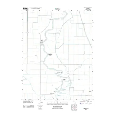
2012 Map of Kirkville
USGS Topo · Published 2012About this map
The Sacramento River meanders through this agricultural region of Colusa County, defined by a complex series of sharp river bends and historic landings. Settlement patterns follow the water, with sites like Boyers Landing, Mummas Landing, and Poffenbergers Landing marking the transition between the river's edge and the surrounding fields. The landscape is heavily engineered for water management, featuring the prominent West Side Canal and various drainage routes that support the local farming economy. A dense network of named bends, including Steiner Bend, Poker Bend, and Ministerial Bend, illustrates the river's historical path and the challenges of navigation and flood control. Inland, small communities like Kirkville and Robbins serve as local hubs, connected by a grid of rural roads such as Browning Rd and Subacco Rd. Natural water bodies like Hiatt Lake and Beaver Lake persist in the low-lying areas near the river, alongside landmarks such as Tyndall Mound.
Find a feature on this map
49 named features on this map. Tap any name to fly to it.
Don’t see what you’re looking for? This feature index may not catch every label — zoom into the map to look around manually.
Map Details
Editions of this 2012 Kirkville Map
This is the sole edition of this map. No revisions or reprints were ever made.
Other maps of this area

1888 · Marysville
USGS Topo · 1:125,000

1891 · Marysville
USGS Topo · 1:125,000

1894 · Marysville
USGS Topo · 1:125,000

1895 · Marysville
USGS Topo · 1:125,000

1907 · Dunnigan
USGS Topo · 1:62,500

1910 · Knights Landing
USGS Topo · 1:31,680

1910 · Marcuse
USGS Topo · 1:31,680

1911 · Grimes
USGS Topo · 1:31,680

1911 · Gilsizer Slough
USGS Topo · 1:31,680
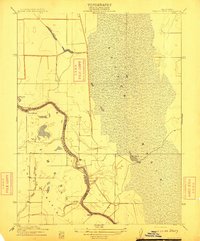
1912 · Tisdale Weir
USGS Topo · 1:31,680