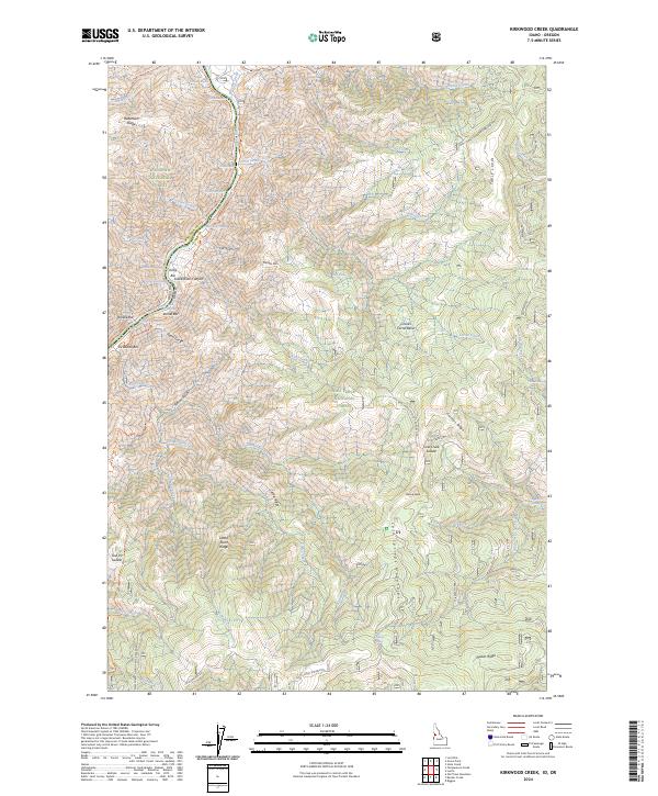
2024 Map of Kirkwood Creek
USGS Topo · Published 2024About this map
The Snake River carves a deep path through this section of the Hells Canyon Wilderness, marking the state line between Oregon and Idaho. The landscape is defined by its sheer verticality, dropping from the high elevations of the Cold Springs Mountains and Phillips Ridge down into the Snake River Canyon. Water navigation here remains a primary focus, evidenced by named whitewater features like Upper Pittsburg Rapids, Durham Rapids, and China Rapids.
Find a feature on this map
69 named features on this map. Tap any name to fly to it.
Don’t see what you’re looking for? This feature index may not catch every label — zoom into the map to look around manually.
Map Details
Editions of this 2024 Kirkwood Creek Map
This is the sole edition of this map. No revisions or reprints were ever made.
Other maps of this area

1922 · He Devil
USGS Topo · 1:48,000

1938 · Riggins
USGS Topo · 1:96,000

1945 · Riggins
USGS Topo · 1:125,000

1954 · Kernan Point
USGS Topo · 1:62,500

1955 · Grangeville
USGS Topo · 1:250,000

1957 · He Devil
USGS Topo · 1:62,500

1959 · Grangeville
USGS Topo · 1:250,000

1963 · Lucile
USGS Topo · 1:24,000

1963 · Slate Creek
USGS Topo · 1:24,000

1963 · Kirkwood Creek
USGS Topo · 1:24,000