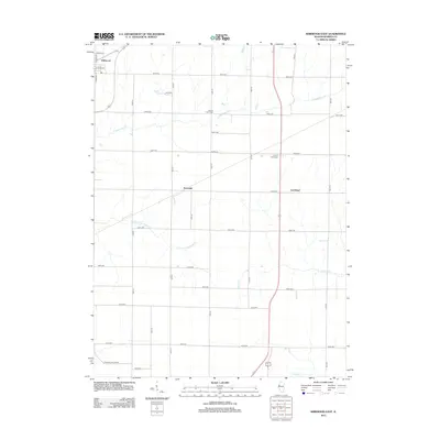
2012 Map of Kirkwood East
USGS Topo · Published 2012About this map
Kirkwood anchors the northwestern corner of this Warren County landscape, where the street grid of E Apple St and S Harding St gives way to an expansive agricultural grid. The map reveals the quiet rural settlements of Ponemah and Larchland, both situated along the transportation corridors that define this portion of Illinois. The drainage patterns of the region are shaped by the meandering S Henderson Cr and its southern fork, while the southern reaches are touched by Negro Cr.
Find a feature on this map
34 named features on this map. Tap any name to fly to it.
Don’t see what you’re looking for? This feature index may not catch every label — zoom into the map to look around manually.
Map Details
Editions of this 2012 Kirkwood East Map
This is the sole edition of this map. No revisions or reprints were ever made.
Other maps of this area

1916 · Good Hope
USGS Topo · 1:62,500

1918 · La Harpe
USGS Topo · 1:62,500

1918 · Good Hope
USGS Topo · 1:62,500

1921 · Monmouth
USGS Topo · 1:62,500

1923 · Monmouth
USGS Topo · 1:62,500

1934 · Oquawka
USGS Topo · 1:48,000

1940 · Oquawka
USGS Topo · 1:62,500

1958 · Burlington
USGS Topo · 1:250,000

1961 · Burlington
USGS Topo · 1:250,000

1963 · Burlington
USGS Topo · 1:250,000