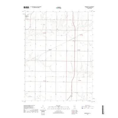
2018 Map of Kirkwood East
USGS Topo · Published 2018About this map
Kirkwood anchors the northwestern corner of this Warren County landscape, where residential streets like North St and E Cherry St meet the sprawling agricultural grid. The terrain is defined by the intricate drainage systems of S Henderson Cr and its tributaries, which carve winding paths through the prairie. Smaller settlements such as Ponemah and Larchland sit along the primary transport corridors, representing the quiet, rural hubs typical of the Illinois countryside in this era. For genealogists and local historians, the map identifies specific burial sites including Hickory Point Cem and the County Farm Cem. The southern portion of the sheet transitions toward Negro Cr, with rural routes like Raccoon Hollow Rd providing access to the more isolated farmsteads and creek bottoms that have shaped the local economy for generations.
Find a feature on this map
45 named features on this map. Tap any name to fly to it.
Don’t see what you’re looking for? This feature index may not catch every label — zoom into the map to look around manually.
Map Details
Editions of this 2018 Kirkwood East Map
This is the sole edition of this map. No revisions or reprints were ever made.
Other maps of this area

1916 · Good Hope
USGS Topo · 1:62,500

1918 · La Harpe
USGS Topo · 1:62,500

1918 · Good Hope
USGS Topo · 1:62,500

1921 · Monmouth
USGS Topo · 1:62,500

1923 · Monmouth
USGS Topo · 1:62,500

1934 · Oquawka
USGS Topo · 1:48,000

1940 · Oquawka
USGS Topo · 1:62,500

1958 · Burlington
USGS Topo · 1:250,000

1961 · Burlington
USGS Topo · 1:250,000

1963 · Burlington
USGS Topo · 1:250,000