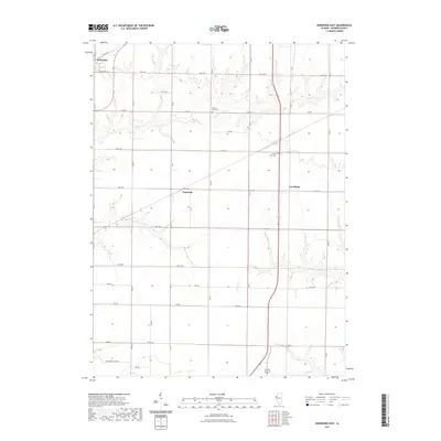
2021 Map of Kirkwood East
USGS Topo · Published 2021About this map
Kirkwood anchors the northwestern corner of this Warren County landscape, where the prairie has been systematically organized by an extensive grid of section-line roads. The terrain is defined by the winding drainages of S Henderson Cr and Cedar Cr, which carve shallow valleys through the agricultural tableland. Small settlements such as Ponemah and Larchland sit along these transport corridors, marking the centers of local farming life. For those tracing regional history or family lineage, the presence of Hickory Point Cem and the County Farm Cem provide specific points of interest. The southern portion of the map is punctuated by the confluence of local tributaries, including S Fork S Henderson Cr and Negro Cr, which create localized relief in an otherwise flat and productive rural landscape.
Find a feature on this map
27 named features on this map. Tap any name to fly to it.
Don’t see what you’re looking for? This feature index may not catch every label — zoom into the map to look around manually.
Map Details
Editions of this 2021 Kirkwood East Map
This is the sole edition of this map. No revisions or reprints were ever made.
Other maps of this area

1916 · Good Hope
USGS Topo · 1:62,500

1918 · La Harpe
USGS Topo · 1:62,500

1918 · Good Hope
USGS Topo · 1:62,500

1921 · Monmouth
USGS Topo · 1:62,500

1923 · Monmouth
USGS Topo · 1:62,500

1934 · Oquawka
USGS Topo · 1:48,000

1940 · Oquawka
USGS Topo · 1:62,500

1958 · Burlington
USGS Topo · 1:250,000

1961 · Burlington
USGS Topo · 1:250,000

1963 · Burlington
USGS Topo · 1:250,000