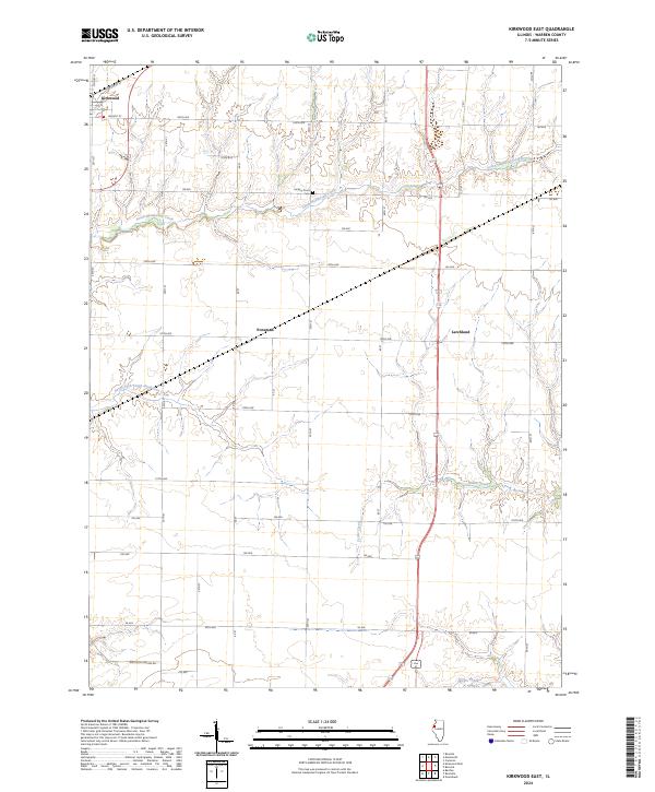
2024 Map of Kirkwood East
USGS Topo · Published 2024About this map
Kirkwood anchors the northwestern corner of this landscape, where the street grid of North St and Walnut St meets the wide agricultural expanse of Warren County. The terrain is defined by a dense network of watercourses that have carved the prairie, including South Henderson Creek and its tributary, South Fork South Henderson Creek. These winding stream valleys create a natural contrast to the rigid geometry of the surrounding section lines and county roads.
Find a feature on this map
39 named features on this map. Tap any name to fly to it.
Don’t see what you’re looking for? This feature index may not catch every label — zoom into the map to look around manually.
Map Details
Editions of this 2024 Kirkwood East Map
This is the sole edition of this map. No revisions or reprints were ever made.
Other maps of this area

1916 · Good Hope
USGS Topo · 1:62,500

1918 · La Harpe
USGS Topo · 1:62,500

1918 · Good Hope
USGS Topo · 1:62,500

1921 · Monmouth
USGS Topo · 1:62,500

1923 · Monmouth
USGS Topo · 1:62,500

1934 · Oquawka
USGS Topo · 1:48,000

1940 · Oquawka
USGS Topo · 1:62,500

1958 · Burlington
USGS Topo · 1:250,000

1961 · Burlington
USGS Topo · 1:250,000

1963 · Burlington
USGS Topo · 1:250,000