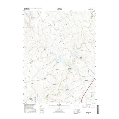
2016 Map of Kirkwood
USGS Topo · Published 2016About this map
West Branch Octoraro Creek and the East Branch Octoraro Creek converge in this corner of Pennsylvania, defining a landscape of small crossroads settlements and winding rural roads. The center of the sheet is dominated by Octoraro Lake, a significant water feature surrounded by communities such as Spruce Grove, Tayloria, and Pine Grove. This 2016 survey illustrates the persistent agricultural and residential character of the region, where historical hamlets like White Rock and Union remain distinct points on the map.
Find a feature on this map
126 named features on this map. Tap any name to fly to it.
Don’t see what you’re looking for? This feature index may not catch every label — zoom into the map to look around manually.
Map Details
Editions of this 2016 Kirkwood Map
This is the sole edition of this map. No revisions or reprints were ever made.
Other maps of this area

1898 · Elkton
USGS Topo · 1:62,500

1900 · Elkton
USGS Topo · 1:62,500

1900 · Havre De Grace
USGS Topo · 1:62,500

1904 · Coatesville
USGS Topo · 1:62,500

1906 · Coatesville
USGS Topo · 1:62,500

1912 · Quarryville
USGS Topo · 1:62,500

1917 · Elkton
USGS Topo · 1:62,500

1918 · Coatesville
USGS Topo · 1:62,500

1942 · Havre De Grace
USGS Topo · 1:62,500

1942 · Elkton
USGS Topo · 1:62,500
Featured Places
- Little Britain Township, PA
- Upper Oxford Township, PA
- East Drumore Township, PA
- Sadsbury Township, PA
- Eastland, Little Britain Township