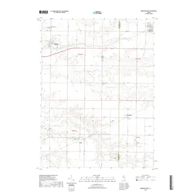
2018 Map of Kirkwood West
USGS Topo · Published 2018About this map
The agricultural landscape of Henderson and Warren counties is defined by the branching tributaries of S Henderson Cr and Ellison Cr. Small rural hubs like Biggsville, Smithshire, and Media anchor the region's transport network, connected by historical township roads and Co HWY 11. The map reveals a high density of small burial grounds, including the Biggsville Cem, Salters Grove Cem, and Walnut Grove Cem, which often point to the locations of former pioneer congregations and early family farmsteads.
Find a feature on this map
32 named features on this map. Tap any name to fly to it.
Don’t see what you’re looking for? This feature index may not catch every label — zoom into the map to look around manually.
Map Details
Editions of this 2018 Kirkwood West Map
This is the sole edition of this map. No revisions or reprints were ever made.
Other maps of this area

1916 · Good Hope
USGS Topo · 1:62,500

1918 · La Harpe
USGS Topo · 1:62,500

1918 · Good Hope
USGS Topo · 1:62,500

1921 · Monmouth
USGS Topo · 1:62,500

1923 · Monmouth
USGS Topo · 1:62,500

1934 · Oquawka
USGS Topo · 1:48,000

1940 · Oquawka
USGS Topo · 1:62,500

1958 · Burlington
USGS Topo · 1:250,000

1961 · Burlington
USGS Topo · 1:250,000

1963 · Burlington
USGS Topo · 1:250,000