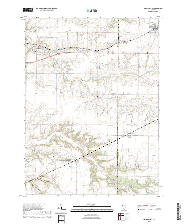
2024 Map of Kirkwood West
USGS Topo · Published 2024About this map
Biggsville and the surrounding Henderson County farmlands are defined by a deeply incised drainage system where South Henderson Creek and Ellison Creek cut through the prairie landscape. This 2024 survey captures the rural character of the region, anchored by small village centers like Media and Smithshire. The map is particularly useful for genealogical research, documenting several distinct burial grounds including Salters Grove Cem and Walnut Grove Cem, which often represent early family settlements near the timbered creek bottoms. Modern agricultural infrastructure is visible in features like Beulah Land Farm Airport and Sediment Control Structure Pond Number 22. The layout of the road network, from named village streets like Weaver St to the section-line roads such as 160th Ave, illustrates the enduring rectangular survey system that has governed this part of Illinois since its earliest development.
Find a feature on this map
37 named features on this map. Tap any name to fly to it.
Don’t see what you’re looking for? This feature index may not catch every label — zoom into the map to look around manually.
Map Details
Editions of this 2024 Kirkwood West Map
This is the sole edition of this map. No revisions or reprints were ever made.
Other maps of this area

1916 · Good Hope
USGS Topo · 1:62,500

1918 · La Harpe
USGS Topo · 1:62,500

1918 · Good Hope
USGS Topo · 1:62,500

1921 · Monmouth
USGS Topo · 1:62,500

1923 · Monmouth
USGS Topo · 1:62,500

1934 · Oquawka
USGS Topo · 1:48,000

1940 · Oquawka
USGS Topo · 1:62,500

1958 · Burlington
USGS Topo · 1:250,000

1961 · Burlington
USGS Topo · 1:250,000

1963 · Burlington
USGS Topo · 1:250,000