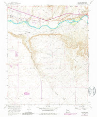
1966 Map of Kirtland
USGS Topo · Published 1980About this map
Kirtland sits along the northern banks of the San Juan River in this 1966 topographic survey, which was later updated with 1979 photorevisions to track the area's development. The landscape is defined by the critical irrigation infrastructure of the Fruitland Canal, which serves the agricultural valley floor. While much of the southern portion of the quadrangle covers the high, arid terrain of the Navajo Indian Reservation, the river corridor reveals the concentrated human activity around the western edge of Farmington. The inclusion of Sewage Disposal Ponds and other utility features reflects the mid-century modernization of local infrastructure as these desert communities grew. For researchers, the contrast between the organized irrigation of the valley and the expansive tribal lands to the south provides a clear picture of land use during the transition from the mid-1960s to the late 1970s.
Find a feature on this map
5 named features on this map. Tap any name to fly to it.
Don’t see what you’re looking for? This feature index may not catch every label — zoom into the map to look around manually.
Map Details
Editions of this 1966 Kirtland Map
2 editions found
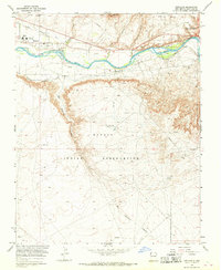
Other maps of this area

1889 · Chaco
USGS Topo · 1:250,000

1892 · Chaco
USGS Topo · 1:250,000

1927 · Sulphur Spring
USGS Topo · 1:96,000

1928 · Kirtland
USGS Topo · 1:125,000

1932 · Kirtland
USGS Topo · 1:125,000

1954 · Shiprock
USGS Topo · 1:250,000

1958 · Shiprock
USGS Topo · 1:250,000

1959 · Shiprock
USGS Topo · 1:250,000
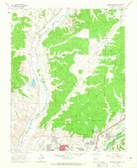
1963 · Farmington North
USGS Topo · 1:24,000
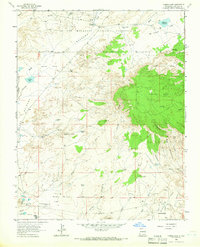
1963 · Youngs Lake
USGS Topo · 1:24,000