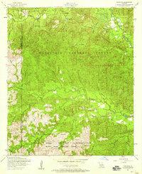
1954 Map of Kisatchie
USGS Topo · Published 1958About this map
Kisatchie National Forest dominates the landscape of Natchitoches and Sabine Parishes in the mid-1950s, revealing a terrain shaped by both conservation and military activity. The southern portion of the sheet transitions into the Fort Polk Military Reservation, featuring the Peason Ridge Artillary Range. This intersection of land uses provides a unique view of the region before further modern development, where family history is preserved in numerous burial grounds such as the Old Kisatchie Cemetery, New Kisatchie Cemetery, and the Billy Dowden Cemetery.
Find a feature on this map
35 named features on this map. Tap any name to fly to it.
Don’t see what you’re looking for? This feature index may not catch every label — zoom into the map to look around manually.
Map Details
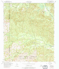
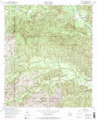
Editions of this 1954 Kisatchie Map
3 editions found
Other maps of this area

1937 · Bellwood
USGS Topo · 1:31,680

1937 · Cypress
USGS Topo · 1:31,680

1942 · Many
USGS Topo · 1:62,500

1942 · Florien
USGS Topo · 1:62,500

1942 · Kisatchie
USGS Topo · 1:62,500

1943 · Many
USGS Topo · 1:62,500

1943 · Kisatchie
USGS Topo · 1:62,500

1943 · Provencal
USGS Topo · 1:62,500

1944 · Florien
USGS Topo · 1:62,500

1945 · Provencal
USGS Topo · 1:62,500