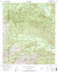
1954 Map of Kisatchie
USGS Topo · Published 1976About this map
Kisatchie National Forest dominates this mid-century landscape in Natchitoches Parish, where dense pine woodlands are intersected by the winding course of Kisatchie Bayou and its numerous tributaries like Sandy Creek and Hyatt Branch. The small settlement of Kisatchie serves as a central point for the surrounding rural community, which is marked by a high density of family and community burial grounds, including the Old Kisatchie Cemetery and Booty Cemetery.
Find a feature on this map
32 named features on this map. Tap any name to fly to it.
Don’t see what you’re looking for? This feature index may not catch every label — zoom into the map to look around manually.
Map Details
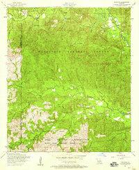
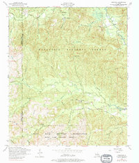
Editions of this 1954 Kisatchie Map
3 editions found
Other maps of this area

1937 · Bellwood
USGS Topo · 1:31,680

1937 · Cypress
USGS Topo · 1:31,680

1942 · Many
USGS Topo · 1:62,500

1942 · Florien
USGS Topo · 1:62,500

1942 · Kisatchie
USGS Topo · 1:62,500

1943 · Many
USGS Topo · 1:62,500

1943 · Kisatchie
USGS Topo · 1:62,500

1943 · Provencal
USGS Topo · 1:62,500

1944 · Florien
USGS Topo · 1:62,500

1945 · Provencal
USGS Topo · 1:62,500