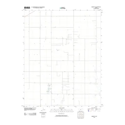
2010 Map of Kismet NE
USGS Topo · Published 2010About this map
Shorts Creek carves a subtle drainage path through this high plains landscape in Meade County, providing the primary relief in an otherwise strictly organized agricultural grid. The terrain is defined by a rigorous network of section-line roads, including O Rd, 5 Rd, and R Rd, which reflect the enduring influence of the Public Land Survey System on Kansas settlement patterns. While much of the area is devoted to open fields, isolated farmsteads and structures are scattered along these thoroughfares, particularly near the intersections of W Rd and 9 Rd. This 2010 survey illustrates the modernization of rural infrastructure, where historical wagon tracks have been replaced by a systematic naming convention, seen in routes like U Rd and Y Rd, which facilitate the transport and ranching economy of the southwest corner of the state.
Find a feature on this map
14 named features on this map. Tap any name to fly to it.
Don’t see what you’re looking for? This feature index may not catch every label — zoom into the map to look around manually.
Map Details
Editions of this 2010 Kismet NE Map
This is the sole edition of this map. No revisions or reprints were ever made.
Other maps of this area

1892 · Meade
USGS Topo · 1:125,000

1955 · Dodge City
USGS Topo · 1:250,000

1958 · Dodge City
USGS Topo · 1:250,000

1959 · Dodge City
USGS Topo · 1:250,000

1963 · Plains
USGS Topo · 1:24,000

1963 · Kismet SE
USGS Topo · 1:24,000

1963 · Kismet NE
USGS Topo · 1:24,000

1963 · Lake Larrabee
USGS Topo · 1:24,000

1963 · Irish Flats
USGS Topo · 1:24,000

1963 · Missler
USGS Topo · 1:24,000