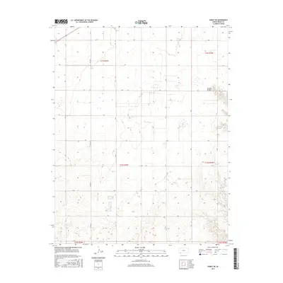
2016 Map of Kismet NE
USGS Topo · Published 2016About this map
Stumpie Arroyo and the headwaters of Shorts Cr define the hydrological character of this portion of Meade County. The landscape is structured by a rigorous Public Land Survey System grid, with section lines marked by a series of alphabetically designated roads including Q RD and Y RD. This modern 2016 survey reflects the high plains agricultural layout, where large-scale land divisions and intermittent drainage channels are the primary geographical markers. The map covers significant portions of several townships, including t33s r30w and t32s r29w, providing a clear record of current rural property boundaries and the persistent orientation of the road network along traditional section lines.
Find a feature on this map
17 named features on this map. Tap any name to fly to it.
Don’t see what you’re looking for? This feature index may not catch every label — zoom into the map to look around manually.
Map Details
Editions of this 2016 Kismet NE Map
This is the sole edition of this map. No revisions or reprints were ever made.
Other maps of this area

1892 · Meade
USGS Topo · 1:125,000

1955 · Dodge City
USGS Topo · 1:250,000

1958 · Dodge City
USGS Topo · 1:250,000

1959 · Dodge City
USGS Topo · 1:250,000

1963 · Plains
USGS Topo · 1:24,000

1963 · Kismet SE
USGS Topo · 1:24,000

1963 · Kismet NE
USGS Topo · 1:24,000

1963 · Lake Larrabee
USGS Topo · 1:24,000

1963 · Irish Flats
USGS Topo · 1:24,000

1963 · Missler
USGS Topo · 1:24,000