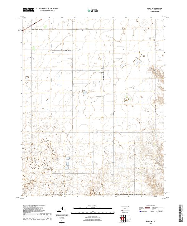
2022 Map of Kismet NE
USGS Topo · Published 2022About this map
Stumpie Arroyo and the drainage of Shores Cr define the hydrological character of this Meade County landscape. The map reveals a highly structured grid of section lines and rural thoroughfares, including the prominent north-south Ontario St and a sequence of alphabetical and numerical routes such as Q Rd and V Rd. This systematic arrangement of the Public Land Survey System is clearly visible across several townships, including t33s r30w and t32s r29w. The terrain is marked by subtle depressions and the winding paths of intermittent watercourses, illustrating the careful management of land and water in the High Plains. While the map is sparse in terms of major settlements, it meticulously documents the infrastructure of rural Kansas, from isolated structures to the complex network of access roads like W Rd and X Rd that connect this agricultural region.
Find a feature on this map
25 named features on this map. Tap any name to fly to it.
Don’t see what you’re looking for? This feature index may not catch every label — zoom into the map to look around manually.
Map Details
Editions of this 2022 Kismet NE Map
This is the sole edition of this map. No revisions or reprints were ever made.
Other maps of this area

1892 · Meade
USGS Topo · 1:125,000

1955 · Dodge City
USGS Topo · 1:250,000

1958 · Dodge City
USGS Topo · 1:250,000

1959 · Dodge City
USGS Topo · 1:250,000

1963 · Plains
USGS Topo · 1:24,000

1963 · Kismet SE
USGS Topo · 1:24,000

1963 · Kismet NE
USGS Topo · 1:24,000

1963 · Lake Larrabee
USGS Topo · 1:24,000

1963 · Irish Flats
USGS Topo · 1:24,000

1963 · Missler
USGS Topo · 1:24,000