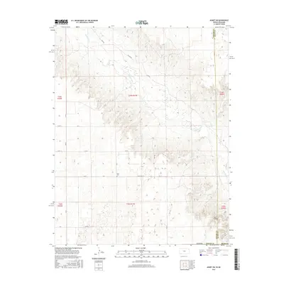
2016 Map of Kismet SW
USGS Topo · Published 2016About this map
The Cimarron River meanders across this High Plains landscape, carving a distinct valley through the prairie of Seward and Meade Counties. This 2014-era geography reflects a sparsely populated agricultural region defined by a rigid grid of section-line roads, including Co Rd S and Road W. A notable local landmark, the Biller Cem, sits at a junction of rural routes, providing a specific point of interest for genealogists tracing families in the Kismet area. To the southeast, the terrain breaks into the dramatic relief of Wolf Canyon, contrasting with the surrounding plateaus. The network of local thoroughfares like River Rd and Co Rd Zero (0) illustrates how modern transportation continues to follow the natural corridor created by the river valley while maintaining the efficiency of the Public Land Survey System.
Find a feature on this map
28 named features on this map. Tap any name to fly to it.
Don’t see what you’re looking for? This feature index may not catch every label — zoom into the map to look around manually.
Map Details
Editions of this 2016 Kismet SW Map
This is the sole edition of this map. No revisions or reprints were ever made.
Other maps of this area

1954 · Perryton
USGS Topo · 1:250,000

1955 · Dodge City
USGS Topo · 1:250,000

1958 · Perryton
USGS Topo · 1:250,000

1958 · Dodge City
USGS Topo · 1:250,000

1959 · Dodge City
USGS Topo · 1:250,000

1963 · Kismet SE
USGS Topo · 1:24,000

1963 · Kismet NE
USGS Topo · 1:24,000

1968 · Liberal NE
USGS Topo · 1:24,000
1971 · Kismet
USGS Topo · 1:24,000

1971 · Kismet SW
USGS Topo · 1:24,000