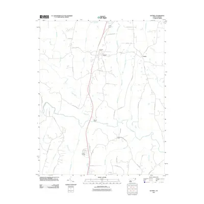
2011 Map of Kittrell
USGS Topo · Published 2011About this map
Kittrell serves as the central hub of this northern North Carolina landscape, where the local topography is defined by the winding course of the Tar River and its numerous tributaries. Significant historical markers are scattered throughout the region, including the Confederate Cemetery situated just north of the town center and the commemorative Kittrell College RD. The area's transit and infrastructure are represented by the prominent Railroad Bridge crossing the river and the Meadowlark Airport further south near Billus Creek. Small settlements like Bobbitt anchor the eastern rural expanse, while the southwestern corner rises toward Egypt Mountain. The map also details local water management through features like Guptons Lake Dam, providing a clear view of how these communities have historically integrated with the drainage systems of Tabbs Creek and Long Creek.
Find a feature on this map
55 named features on this map. Tap any name to fly to it.
Don’t see what you’re looking for? This feature index may not catch every label — zoom into the map to look around manually.
Map Details
Editions of this 2011 Kittrell Map
This is the sole edition of this map. No revisions or reprints were ever made.
Other maps of this area

1943 · Creedmoor
USGS Topo · 1:62,500

1944 · Creedmoor
USGS Topo · 1:62,500

1953 · Oxford
USGS Topo · 1:62,500

1953 · Greensboro
USGS Topo · 1:250,000

1954 · Greensboro
USGS Topo · 1:250,000

1962 · Greensboro
USGS Topo · 1:250,000

1966 · Greensboro
USGS Topo · 1:250,000

1966 · Oxford
USGS Topo · 1:62,500

1970 · Vicksboro
USGS Topo · 1:24,000

1970 · Henderson
USGS Topo · 1:24,000