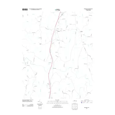
2013 Map of Kittrell
USGS Topo · Published 2013About this map
The settlement of Kittrell serves as a central hub in this portion of Vance County, defined by its intersection of major roads and the north-south rail line crossing the Railroad Bridge. To the east lies Bobbitt, another established point of community activity. The landscape is heavily dissected by a dense network of watercourses, including the Tar River, Tabbs Cr, and Buffalo Cr, which carve through the terrain and influence the local road patterns. The presence of Kittrell College Rd points to the area's educational history, while the Deer Run Airport provides a modern aviation footprint amidst the traditional rural landscape. This survey documents the transition between small-town North Carolina centers and the surrounding agricultural and creek-fed lands during the early 21st century.
Find a feature on this map
103 named features on this map. Tap any name to fly to it.
Don’t see what you’re looking for? This feature index may not catch every label — zoom into the map to look around manually.
Map Details
Editions of this 2013 Kittrell Map
This is the sole edition of this map. No revisions or reprints were ever made.
Other maps of this area

1943 · Creedmoor
USGS Topo · 1:62,500

1944 · Creedmoor
USGS Topo · 1:62,500

1953 · Oxford
USGS Topo · 1:62,500

1953 · Greensboro
USGS Topo · 1:250,000

1954 · Greensboro
USGS Topo · 1:250,000

1962 · Greensboro
USGS Topo · 1:250,000

1966 · Greensboro
USGS Topo · 1:250,000

1966 · Oxford
USGS Topo · 1:62,500

1970 · Vicksboro
USGS Topo · 1:24,000

1970 · Henderson
USGS Topo · 1:24,000