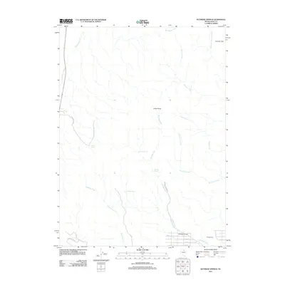
2012 Map of Kittridge Springs
USGS Topo · Published 2012About this map
Kittridge Springs serves as a vital water source in this high-elevation basin within the Adobe Range of Elko County. The landscape is defined by a network of drainage systems, including Sixteenmile Creek and Eightmile Creek, which flow through the arid terrain. Human presence is concentrated near the southern edge of the quadrangle, where the Kittridge Ranch and the mouth of Kittridge Canyon are accessed by a nascent grid of residential streets such as 8th St and 11th St. The map illustrates a transitional area where agricultural ranching interests meet early residential development near Adobe Heights Dr, all set against the backdrop of significant topographic features like Sherman Peak and the high desert canyons that channel runoff from the surrounding peaks.
Find a feature on this map
24 named features on this map. Tap any name to fly to it.
Don’t see what you’re looking for? This feature index may not catch every label — zoom into the map to look around manually.
Map Details
Editions of this 2012 Kittridge Springs Map
This is the sole edition of this map. No revisions or reprints were ever made.
Other maps of this area

1955 · Wells
USGS Topo · 1:250,000

1955 · Elko
USGS Topo · 1:250,000

1957 · Elko West
USGS Topo · 1:24,000

1957 · Elko East
USGS Topo · 1:24,000

1958 · Wells
USGS Topo · 1:250,000

1958 · Elko
USGS Topo · 1:250,000

1958 · Singletree Creek
USGS Topo · 1:24,000

1958 · Hunter
USGS Topo · 1:24,000

1958 · Doby Summit
USGS Topo · 1:24,000

1961 · Wells
USGS Topo · 1:250,000