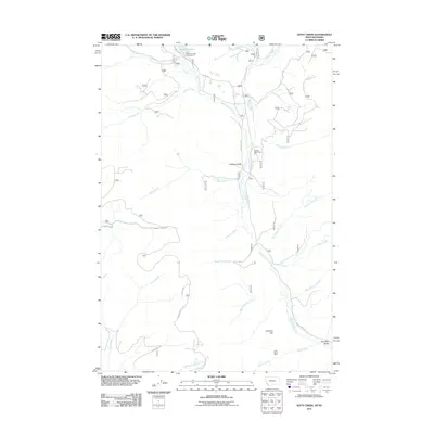
2011 Map of Kitty Creek
USGS Topo · Published 2011About this map
Bloody Dick Creek and its many tributaries, including Hoops Creek and Kitty Creek, dominate this high-elevation landscape within Beaverhead County near the Idaho-Montana border. The area is defined by its industrial and recreational uses, as seen by the Kelly Creek Mine located south of Pyramid Hill. Longstanding cattle-ranching traditions are evidenced by the Hughes Cow Camp situated near Hughes Gulch.
Find a feature on this map
30 named features on this map. Tap any name to fly to it.
Don’t see what you’re looking for? This feature index may not catch every label — zoom into the map to look around manually.
Map Details
Editions of this 2011 Kitty Creek Map
This is the sole edition of this map. No revisions or reprints were ever made.
Other maps of this area

1955 · Dubois
USGS Topo · 1:250,000

1955 · Dillon
USGS Topo · 1:250,000

1956 · Goldstone Mtn
USGS Topo · 1:62,500

1956 · Lemhi
USGS Topo · 1:62,500

1957 · Dillon
USGS Topo · 1:250,000

1958 · Dubois
USGS Topo · 1:250,000

1958 · Dillon
USGS Topo · 1:250,000

1962 · Dillon
USGS Topo · 1:250,000

1965 · Dillon
USGS Topo · 1:250,000

1965 · Lemhi Pass
USGS Topo · 1:24,000