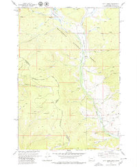
1978 Map of Kitty Creek
USGS Topo · Published 1979About this map
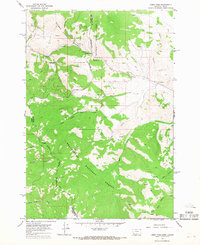
The Continental Divide serves as the spine of this 1978 survey, tracing the high-altitude border between Idaho and Montana. The landscape is dominated by the sprawling administrative reaches of the Beaverhead National Forest and Salmon National Forest, where the presence of the Bloody Dick Guard Sta and Hughes Cow Camp underscores a history of federal land management and seasonal ranching. In the north, Reservoir Lake and the headwaters of Bloody Dick Creek drain through a network of steep gulches, while a solitary Landing Strip and various Pack Trails provide the only significant access points into this high-country terrain. This map captures the remote character of the Bitterroot Range before contemporary developments, documented through features like Pattee Ridge and scattered Prospects that hint at the region's mineral exploration history.
Find a feature on this map
32 named features on this map. Tap any name to fly to it.
Don’t see what you’re looking for? This feature index may not catch every label — zoom into the map to look around manually.
Map Details
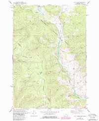
Editions of this 1978 Kitty Creek Map
2 editions found
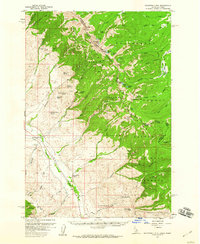
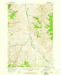
Other maps of this area

1955 · Dubois
USGS Topo · 1:250,000

1955 · Dillon
USGS Topo · 1:250,000
1956 · Goldstone Mtn
USGS Topo · 1:62,500
1956 · Lemhi
USGS Topo · 1:62,500

1957 · Dillon
USGS Topo · 1:250,000

1958 · Dubois
USGS Topo · 1:250,000

1958 · Dillon
USGS Topo · 1:250,000

1962 · Dillon
USGS Topo · 1:250,000

1965 · Dillon
USGS Topo · 1:250,000
1965 · Lemhi Pass
USGS Topo · 1:24,000