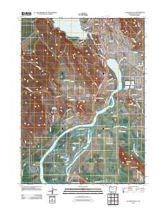
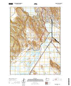
1957 Map of Klamath Falls
USGS Topo · Published 1965About this map
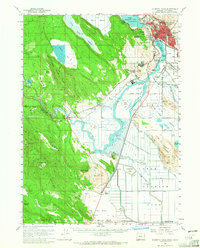
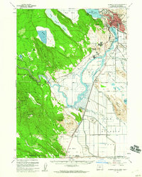
Klamath Falls serves as the industrial and logistical hub of this mid-century landscape, where the Southern Pacific and Oregon California Eastern Railway converge near the southern tip of Upper Klamath Lake. The urban center is detailed with civic infrastructure, including Roosevelt School, Fremont School, and a Powerhouse near the Klamath River headwaters. To the southwest, the terrain transitions into the steep slopes of Hamaker Mtn and Chase Mtn, overlooking the smaller settlement of Keno.
Find a feature on this map
61 named features on this map. Tap any name to fly to it.
Don’t see what you’re looking for? This feature index may not catch every label — zoom into the map to look around manually.
Map Details
Editions of this 1957 Klamath Falls Map
2 editions found
Historical Maps of Klamath Falls Through Time
10 maps found
1955 Klamath Falls
Klamath County, OR
1957 Klamath Falls
Klamath County, OR

1958 Klamath Falls
Klamath County, OR
1985 Klamath Falls
Klamath County, OR
1991 Klamath Falls
Klamath County, OR
2011 Klamath Falls
Klamath County, OR
2014 Klamath Falls
Klamath County, OR
2017 Klamath Falls
Klamath County, OR
2020 Klamath Falls
Klamath County, OR
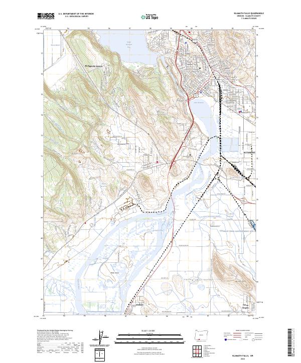
2024 Klamath Falls
Klamath County, OR