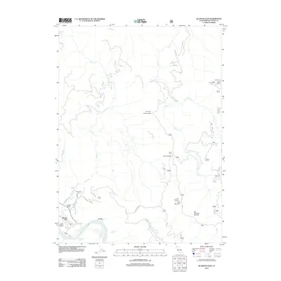
2012 Map of Klamath Glen
USGS Topo · Published 2012About this map
The Klamath River carves through this northern California landscape, forming the sharp Turwar Riffle as it passes Klamath Glen. This 2012 survey illustrates a region defined by remote outposts and forest infrastructure, including the Red Mountain Lookout and Andy McBeth Airport. The settlement pattern is characterized by high-elevation camps and family landmarks like Guys Ranch and Kindig Camp, linked by rugged routes such as Red Mountain Rd and Arrow Mill Rd. Steep drainages like Turwar Cr and Goose Cr dominate the terrain, leading to landmarks such as Cache Saddle and Red Mountain Meadow. This map is particularly valuable for documenting the modern footprint of logging and forest service camps, including Marlow Camp and Rocky Camp, within the dense river valley geography.
Find a feature on this map
28 named features on this map. Tap any name to fly to it.
Don’t see what you’re looking for? This feature index may not catch every label — zoom into the map to look around manually.
Map Details
Editions of this 2012 Klamath Glen Map
This is the sole edition of this map. No revisions or reprints were ever made.
Other maps of this area

1922 · Preston Peak
USGS Topo · 1:125,000

1925 · Hoopa
USGS Topo · 1:125,000

1929 · Crescent City
USGS Topo · 1:125,000

1945 · Ship Mountain
USGS Topo · 1:62,500

1945 · Orick
USGS Topo · 1:62,500

1945 · Requa
USGS Topo · 1:62,500

1945 · Tectah Creek
USGS Topo · 1:62,500

1948 · Weed
USGS Topo · 1:250,000

1949 · Eureka
USGS Topo · 1:250,000

1950 · Weed
USGS Topo · 1:250,000