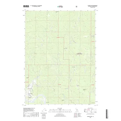
2018 Map of Klamath Glen
USGS Topo · Published 2018About this map
Klamath Glen sits at the transition from the river valley to the steep timberlands of the Six Rivers National Forest in this 2018 survey. The landscape is defined by the sharp relief of coastal ranges, where ridges like Del Ponte Ridge and Starwein Ridge overlook deep drainages. The Klamath River is a central feature, showing the Turwar Riffle near the settlement and the remote Starwein Flat further upstream. A network of mountain roads, including Red Mountain Rd and Arrow Mill Rd, provides access to the high backcountry elevations. Aviation interest is noted at the Andy Mc Beth Airport, which serves this isolated community along the river's lower reaches. The map details numerous water sources and springs, such as Broken Rock Spring, which are critical for the geography of this northern California terrain.
Find a feature on this map
37 named features on this map. Tap any name to fly to it.
Don’t see what you’re looking for? This feature index may not catch every label — zoom into the map to look around manually.
Map Details
Editions of this 2018 Klamath Glen Map
This is the sole edition of this map. No revisions or reprints were ever made.
Other maps of this area

1922 · Preston Peak
USGS Topo · 1:125,000

1925 · Hoopa
USGS Topo · 1:125,000

1929 · Crescent City
USGS Topo · 1:125,000

1945 · Ship Mountain
USGS Topo · 1:62,500

1945 · Orick
USGS Topo · 1:62,500

1945 · Requa
USGS Topo · 1:62,500

1945 · Tectah Creek
USGS Topo · 1:62,500

1948 · Weed
USGS Topo · 1:250,000

1949 · Eureka
USGS Topo · 1:250,000

1950 · Weed
USGS Topo · 1:250,000