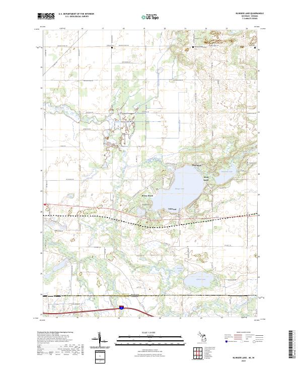
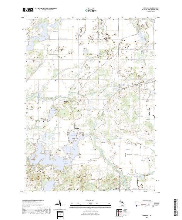
2023 Map of Klinger Lake
USGS Topo · Published 2023This historical map portrays the area of Klinger Lake in 2023, primarily covering St. Joseph County as well as portions of St. Joseph County and Indiana. Featuring a scale of 1:24000, this map provides a highly detailed snapshot of the terrain, roads, buildings, counties, and historical landmarks in the Klinger Lake region at the time. Published in 2023, it is the sole known edition of this map.
Find a feature on this map
81 named features on this map. Tap any name to fly to it.
Don’t see what you’re looking for? This feature index may not catch every label — zoom into the map to look around manually.
Map Details
Editions of this 2023 Klinger Lake Map
This is the sole edition of this map. No revisions or reprints were ever made.
Historical Maps of Sturgis Township Through Time
10 maps found
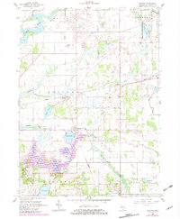
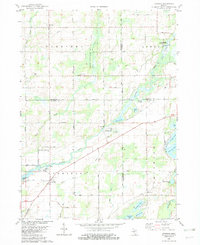
1961 Nottawa
St. Joseph County, MI
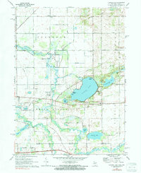
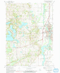
1972 Klinger Lake
St. Joseph County, MI
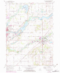
1972 Three Rivers East
St. Joseph County, MI
1972 Three Rivers West
St. Joseph County, MI
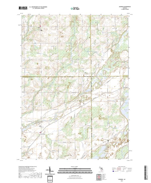
1982 Leonidas
St. Joseph County, MI
2023 Klinger Lake
St. Joseph County, MI
2023 Leonidas
St. Joseph County, MI
2023 Nottawa
St. Joseph County, MI
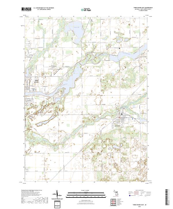
2023 Three Rivers East
St. Joseph County, MI
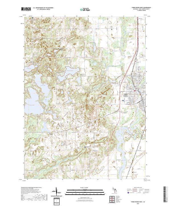
2023 Three Rivers West
St. Joseph County, MI
Featured Locations
- Sturgis Township, MI
- Bluff Beach, White Pigeon Township
- Breezy Beach, White Pigeon Township
- Klingers, White Pigeon Township
- Oakwood, White Pigeon Township