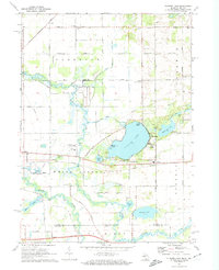
1972 Map of Klinger Lake
USGS Topo · Published 1974About this map
Klinger Lake and its surrounding leisure communities of Breezy Beach, Bluff Beach, and Sandy Beach define the central landscape of this early 1970s survey. The map reveals a transition between established agricultural townships like Florence and Sherman and the developing recreational shoreline near Oakwood. To the north, small civic centers such as the Mintdale Community Club and several country churches, including Florence Ch and Salem Ch, anchor the rural road network. The southern portion of the quadrangle is dominated by the meandering paths of the Fawn River and Pigeon River, where the terrain drops into marshy lowlands near Tamarack Lake and Aldrich Lake. Evidence of the region's industrial and transit history is present in the Penn Central rail line passing through the small settlement of Klingers and the Toll Road skirting the southern boundary near the Michigan-Indiana state line.
Find a feature on this map
63 named features on this map. Tap any name to fly to it.
Don’t see what you’re looking for? This feature index may not catch every label — zoom into the map to look around manually.
Map Details
Editions of this 1972 Klinger Lake Map
2 editions found
Other maps of this area

1914 · Three Rivers
USGS Topo · 1:62,500

1916 · Three Rivers
USGS Topo · 1:62,500

1943 · Three Rivers
USGS Topo · 1:62,500

1947 · Lagrange
USGS Topo · 1:24,000

1953 · Fort Wayne
USGS Topo · 1:250,000

1956 · Fort Wayne
USGS Topo · 1:250,000
1960 · Lagrange
USGS Topo · 1:24,000
1961 · Sturgis
USGS Topo · 1:24,000
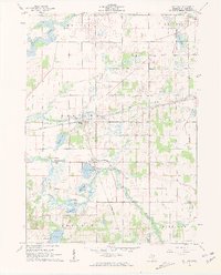
1961 · Nottawa
USGS Topo · 1:24,000
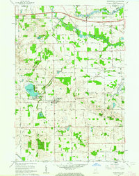
1961 · Shipshewana
USGS Topo · 1:24,000