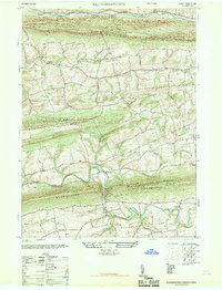
1947 Map of Klingerstown
USGS Topo · Published 1967About this map
The ridge-and-valley terrain of central Pennsylvania dominates this landscape, where the ridges of Line Mountain and Mahantango Mountain define the settlement patterns of the late 1940s. Villages and hamlets like Klingerstown, Rebuck, and Erdman are tucked into the fertile lowlands between these elevations, connected by a network of winding roads and local watercourses. The presence of Himmels Church, Salem Church, and Colemans Church suggests a community organized around long-standing rural parishes, while smaller landmarks like Kissingers School and the Covered Bridge over Mahantango Creek mark the local scale of mid-century life. Distinctive place names such as Rough and Ready and Fearnot provide a window into the colorful vernacular history of the region. This survey, redrawn from earlier 1940s data with 1946 aerial photography, captures the area before modern development altered the rural character of the creek valleys.
Find a feature on this map
25 named features on this map. Tap any name to fly to it.
Don’t see what you’re looking for? This feature index may not catch every label — zoom into the map to look around manually.
Map Details
Editions of this 1947 Klingerstown Map
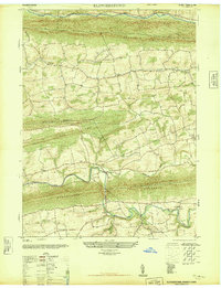
2 editions found
Other maps of this area

1892 · Lykens
USGS Topo · 1:62,500

1892 · Shamokin
USGS Topo · 1:62,500

1893 · Sunbury
USGS Topo · 1:62,500

1893 · Lykens
USGS Topo · 1:62,500

1893 · Shamokin
USGS Topo · 1:62,500

1893 · Millersburg
USGS Topo · 1:62,500

1943 · Millersburg
USGS Topo · 1:62,500

1943 · Lykens
USGS Topo · 1:62,500

1943 · Shamokin
USGS Topo · 1:62,500

1943 · Sunbury
USGS Topo · 1:62,500
Featured Places
- West Cameron Township, PA
- Hubley Township, PA
- Lykens Township, PA
- Little Mahanoy Township, PA
- Hebe, Jordan Township