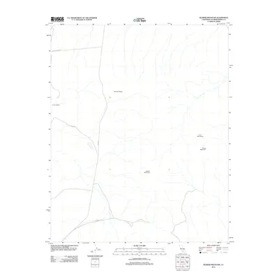
2012 Map of Klinker Mountain
USGS Topo · Published 2012About this map
Summit Diggings anchors the western edge of this desert landscape, suggesting a history tied to local mineral extraction. The terrain is defined by volcanic and structural landmarks, including the Lava Mountains and the prominent Dome Mountain to the east. The central Summit Range and namesake Klinker Mountain dominate the topography, providing a detailed view of the drainage patterns through these arid elevations. A sparse network of unpaved desert routes, such as Searles Station Rd and Steamwells Rd, provides access across the basin and range, reflecting the isolation of this corner of San Bernardino County. The dominance of Trona Rd as the primary north-south artery highlights the corridor's role in connecting the region's mining and chemical industrial centers.
Find a feature on this map
9 named features on this map. Tap any name to fly to it.
Don’t see what you’re looking for? This feature index may not catch every label — zoom into the map to look around manually.
Map Details
Editions of this 2012 Klinker Mountain Map
This is the sole edition of this map. No revisions or reprints were ever made.
Other maps of this area

1903 · Randsburg
USGS Topo · 1:62,500

1911 · Randsburg
USGS Topo · 1:62,500

1912 · Randsburg
USGS Topo · 1:62,500

1915 · Searles Lake
USGS Topo · 1:250,000

1947 · Trona
USGS Topo · 1:250,000

1948 · Trona
USGS Topo · 1:250,000

1949 · Searles Lake
USGS Topo · 1:62,500

1950 · Searles Lake
USGS Topo · 1:62,500

1953 · Ridgecrest
USGS Topo · 1:62,500

1953 · Trona
USGS Topo · 1:250,000