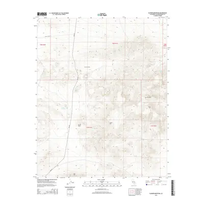
2015 Map of Klinker Mountain
USGS Topo · Published 2015About this map
Klinker Mtn and the surrounding Lava Mountains define this high-desert landscape in northeastern San Bernardino County. This 2015 survey reveals a terrain shaped by volcanic geology and arid basins, where the Summit Range rises in the north and the Mojave Desert floor stretches across the central flats. Transportation through this remote section is anchored by Trona Rd, which snakes along the western edge of the mountains, and Searles Station Rd to the northwest. The presence of ephemeral water features like Little Dry Lake and the isolated Bedrock Spring highlights the scarce but vital hydrologic points in an otherwise parched environment. Notable peaks such as Red Mtn and Dome Mtn provide distinct landmarks for navigators and surveyors within the Public Land Survey System grids.
Find a feature on this map
15 named features on this map. Tap any name to fly to it.
Don’t see what you’re looking for? This feature index may not catch every label — zoom into the map to look around manually.
Map Details
Editions of this 2015 Klinker Mountain Map
This is the sole edition of this map. No revisions or reprints were ever made.
Other maps of this area

1903 · Randsburg
USGS Topo · 1:62,500

1911 · Randsburg
USGS Topo · 1:62,500

1912 · Randsburg
USGS Topo · 1:62,500

1915 · Searles Lake
USGS Topo · 1:250,000

1947 · Trona
USGS Topo · 1:250,000

1948 · Trona
USGS Topo · 1:250,000

1949 · Searles Lake
USGS Topo · 1:62,500

1950 · Searles Lake
USGS Topo · 1:62,500

1953 · Ridgecrest
USGS Topo · 1:62,500

1953 · Trona
USGS Topo · 1:250,000