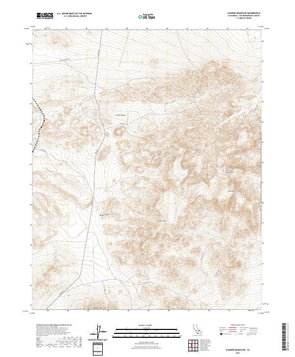
2021 Map of Klinker Mountain
USGS Topo · Published 2021About this map
Klinker Mtn and the Summit Range define the high ground of this western section of the Mojave Desert in San Bernardino County. The landscape is characterized by complex volcanic geology, most notably the Lava Mountains and the prominent Dome Mtn in the eastern reaches. Early transportation routes like Trona Rd and Searles Station Rd cut across the arid terrain, providing essential links between remote desert outposts and mining districts.
Find a feature on this map
17 named features on this map. Tap any name to fly to it.
Don’t see what you’re looking for? This feature index may not catch every label — zoom into the map to look around manually.
Map Details
Editions of this 2021 Klinker Mountain Map
This is the sole edition of this map. No revisions or reprints were ever made.
Other maps of this area

1903 · Randsburg
USGS Topo · 1:62,500

1911 · Randsburg
USGS Topo · 1:62,500

1912 · Randsburg
USGS Topo · 1:62,500

1915 · Searles Lake
USGS Topo · 1:250,000

1947 · Trona
USGS Topo · 1:250,000

1948 · Trona
USGS Topo · 1:250,000

1949 · Searles Lake
USGS Topo · 1:62,500

1950 · Searles Lake
USGS Topo · 1:62,500

1953 · Ridgecrest
USGS Topo · 1:62,500

1953 · Trona
USGS Topo · 1:250,000