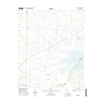
2016 Map of Klondike
USGS Topo · Published 2016About this map
The Middle Sulphur River and the S Sulphur River dominate the southern landscape of this Delta County region, where the river plains meet upland farming communities. This 2016 survey documents a rural Texas environment defined by its watercourses, including the W Fork Jernigan Cr and Honey Cr, and the enduring presence of historic community hubs like Klondike. Small settlements such as Yowell and Horton remain anchored by a network of farm-to-market roads, while several cemeteries, including Gough Cem and Shiloh Cem, provide essential markers for genealogical research. The map illustrates how local topography, including Mc Combs Hill Rd, influences the layout of the county road system as it navigates the wetlands and tributaries feeding into the larger river basin.
Find a feature on this map
70 named features on this map. Tap any name to fly to it.
Don’t see what you’re looking for? This feature index may not catch every label — zoom into the map to look around manually.
Map Details
Editions of this 2016 Klondike Map
This is the sole edition of this map. No revisions or reprints were ever made.
Other maps of this area

1953 · Texarkana
USGS Topo · 1:250,000

1956 · Texarkana
USGS Topo · 1:250,000

1964 · Cumby
USGS Topo · 1:24,000

1964 · Commerce South
USGS Topo · 1:24,000

1964 · Gafford Chapel
USGS Topo · 1:24,000

1964 · Klondike
USGS Topo · 1:24,000

1964 · Commerce North
USGS Topo · 1:24,000

1964 · Cooper North
USGS Topo · 1:24,000

1964 · Ladonia
USGS Topo · 1:24,000

1964 · Pecan Gap
USGS Topo · 1:24,000