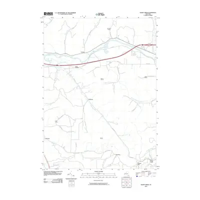
2010 Map of Knapp Creek
USGS Topo · Published 2010About this map
The Allegheny River corridor defines the northern reaches of this map, where the settlements of Vandalia and South Vandalia sit near the river's bend. This area of Cattaraugus County is characterized by deep hollows and creek valleys, including Townsend Hollow and Carey Hollow, which cut through the high ground of Mount Moriah. The map reveals a landscape heavily influenced by both topography and industry, most notably the presence of the Bradford Oil Field which spans the central and southern terrain.
Find a feature on this map
45 named features on this map. Tap any name to fly to it.
Don’t see what you’re looking for? This feature index may not catch every label — zoom into the map to look around manually.
Map Details
Editions of this 2010 Knapp Creek Map
This is the sole edition of this map. No revisions or reprints were ever made.
Other maps of this area

1898 · Olean
USGS Topo · 1:62,500

1900 · Salamanca
USGS Topo · 1:62,500

1924 · Bradford
USGS Topo · 1:62,500

1926 · Bradford
USGS Topo · 1:62,500

1933 · Smethport
USGS Topo · 1:62,500

1937 · Smethport
USGS Topo · 1:62,500

1938 · Salamanca
USGS Topo · 1:62,500

1938 · Olean
USGS Topo · 1:62,500

1941 · Bradford
USGS Topo · 1:62,500

1943 · Olean
USGS Topo · 1:62,500