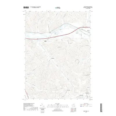
2019 Map of Knapp Creek
USGS Topo · Published 2019About this map
The Allegheny River corridor serves as the primary axis for development and transport through this New York landscape, connecting the village of Allegany with the communities of Vandalia and South Vandalia. The terrain rises sharply away from the river valley into a network of steep hollows and ridges, where small interior settlements like Chipmunk and Harrisburg are reached via winding roads such as Chipmunk Rd and Flatstone Rd.
Find a feature on this map
61 named features on this map. Tap any name to fly to it.
Don’t see what you’re looking for? This feature index may not catch every label — zoom into the map to look around manually.
Map Details
Editions of this 2019 Knapp Creek Map
This is the sole edition of this map. No revisions or reprints were ever made.
Other maps of this area

1898 · Olean
USGS Topo · 1:62,500

1900 · Salamanca
USGS Topo · 1:62,500

1924 · Bradford
USGS Topo · 1:62,500

1926 · Bradford
USGS Topo · 1:62,500

1933 · Smethport
USGS Topo · 1:62,500

1937 · Smethport
USGS Topo · 1:62,500

1938 · Salamanca
USGS Topo · 1:62,500

1938 · Olean
USGS Topo · 1:62,500

1941 · Bradford
USGS Topo · 1:62,500

1943 · Olean
USGS Topo · 1:62,500