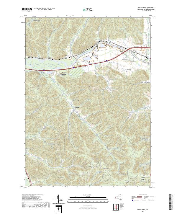
2023 Map of Knapp Creek
USGS Topo · Published 2023About this map
The Allegheny River corridor defines the northern reach of this landscape, where the settlements of Vandalia and South Vandalia sit at the crossroads of river and road. Moving south, the terrain rises into the dissected hills of the Allegany plateau, marked by numerous hollows like Windfall Hollow and Townsend Hollow. Small communities such as Chipmunk, Harrisburg, and Knapp Creek are tucked into the valleys of Chipmunk Creek and Fourmile Creek.
Find a feature on this map
65 named features on this map. Tap any name to fly to it.
Don’t see what you’re looking for? This feature index may not catch every label — zoom into the map to look around manually.
Map Details
Editions of this 2023 Knapp Creek Map
This is the sole edition of this map. No revisions or reprints were ever made.
Other maps of this area

1898 · Olean
USGS Topo · 1:62,500

1900 · Salamanca
USGS Topo · 1:62,500

1924 · Bradford
USGS Topo · 1:62,500

1926 · Bradford
USGS Topo · 1:62,500

1933 · Smethport
USGS Topo · 1:62,500

1937 · Smethport
USGS Topo · 1:62,500

1938 · Salamanca
USGS Topo · 1:62,500

1938 · Olean
USGS Topo · 1:62,500

1941 · Bradford
USGS Topo · 1:62,500

1943 · Olean
USGS Topo · 1:62,500