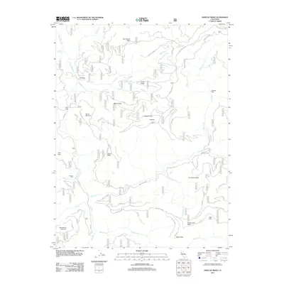
2012 Map of Kneecap Ridge
USGS Topo · Published 2012About this map
Provence Cabin stands as a lonely marker of human habitation in a landscape dominated by the complex drainage systems of the Eel River and the Black Butte River. The terrain is characterized by a series of prominent, parallel ridges including Bear Wallow Ridge, Sheep Ridge, and Kneecap Ridge, which separate deep canyons and seasonal watercourses. The intricate network of forest roads, such as Forest Rte 20N12 and Forest Rte 20N08, suggests a region heavily utilized for timber management and fire access rather than permanent settlement.
Find a feature on this map
71 named features on this map. Tap any name to fly to it.
Don’t see what you’re looking for? This feature index may not catch every label — zoom into the map to look around manually.
Map Details
Editions of this 2012 Kneecap Ridge Map
This is the sole edition of this map. No revisions or reprints were ever made.
Other maps of this area

1919 · Elk Creek
USGS Topo · 1:62,500

1922 · Hullville
USGS Topo · 1:62,500

1948 · Elk Creek
USGS Topo · 1:62,500

1951 · Lake Pillsbury
USGS Topo · 1:62,500

1951 · Stonyford
USGS Topo · 1:62,500

1952 · Hull Mountain
USGS Topo · 1:62,500

1957 · Elk Creek
USGS Topo · 1:62,500

1957 · Ukiah
USGS Topo · 1:250,000

1960 · Ukiah
USGS Topo · 1:250,000

1967 · Plaskett Ridge
USGS Topo · 1:24,000