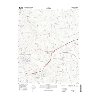
2016 Map of Knightdale
USGS Topo · Published 2016About this map
Knightdale and its surrounding eastern Wake County landscape are defined by a complex network of small lakes and agricultural water management features. The area's transition from traditional farming to modern infrastructure is visible through the dense web of residential roads like Bethany Church Rd and Riley Hill School Rd, which intersect with older landmarks such as Six Forks Crossroads and Eagle Rock. The local economy and recreation are represented by numerous named ponds and reservoirs, including Beaman Lake, Hatchs Pond, and the extensive Buffalo Creek Cypress Swamp to the east.
Find a feature on this map
180 named features on this map. Tap any name to fly to it.
Don’t see what you’re looking for? This feature index may not catch every label — zoom into the map to look around manually.
Map Details
Editions of this 2016 Knightdale Map
This is the sole edition of this map. No revisions or reprints were ever made.
Other maps of this area

1943 · Raleigh
USGS Topo · 1:62,500

1951 · Raleigh
USGS Topo · 1:62,500

1953 · Raleigh
USGS Topo · 1:250,000

1954 · Raleigh
USGS Topo · 1:250,000

1964 · Garner
USGS Topo · 1:24,000

1964 · Flowers
USGS Topo · 1:24,000

1964 · Selma
USGS Topo · 1:62,500

1964 · Clayton
USGS Topo · 1:24,000

1964 · Garner
USGS Topo · 1:62,500

1967 · Knightdale
USGS Topo · 1:24,000