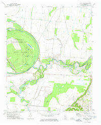
1972 Map of Knob Creek
USGS Topo · Published 1974About this map
The Obion River and the Forked Deer River define this floodplain landscape on the border of Dyer and Lauderdale counties. In the early 1970s, much of the area is dominated by the Moss Island State Wildlife Management Area, a complex environment of oxbow lakes and wetlands including Rhodes Lake, Hushpucket Lake, and Brackens Lake. These winding watercourses and abandoned river channels, such as the Old Bed Forked Deer River, reflect a landscape shaped by persistent seasonal flooding and alluvial shifts.
Find a feature on this map
28 named features on this map. Tap any name to fly to it.
Don’t see what you’re looking for? This feature index may not catch every label — zoom into the map to look around manually.
Map Details
Editions of this 1972 Knob Creek Map
This is the sole edition of this map. No revisions or reprints were ever made.
Historical Maps of Stinger Through Time
11 maps found
1952 Bonicord
Dyer County, TN
1952 Lane
Dyer County, TN
1965 Tatumville
Dyer County, TN
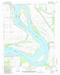
1972 Chic
Dyer County, TN
1972 Knob Creek
Dyer County, TN
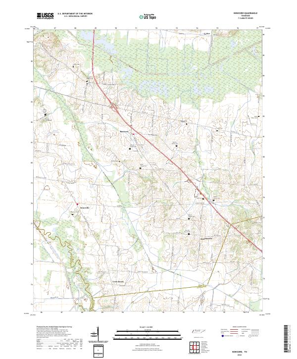
2022 Bonicord
Dyer County, TN
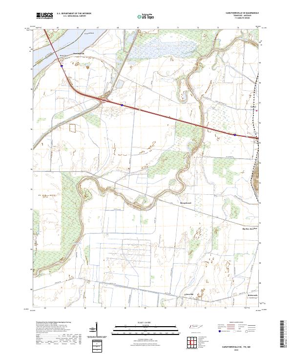
2022 Caruthersville SE
Dyer County, TN
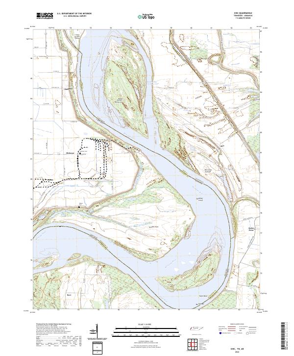
2022 Chic
Dyer County, TN
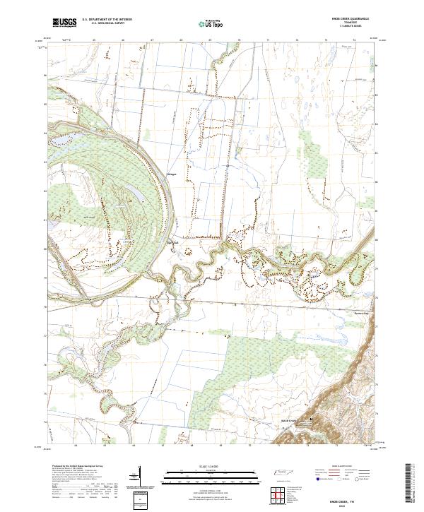
2022 Knob Creek
Dyer County, TN
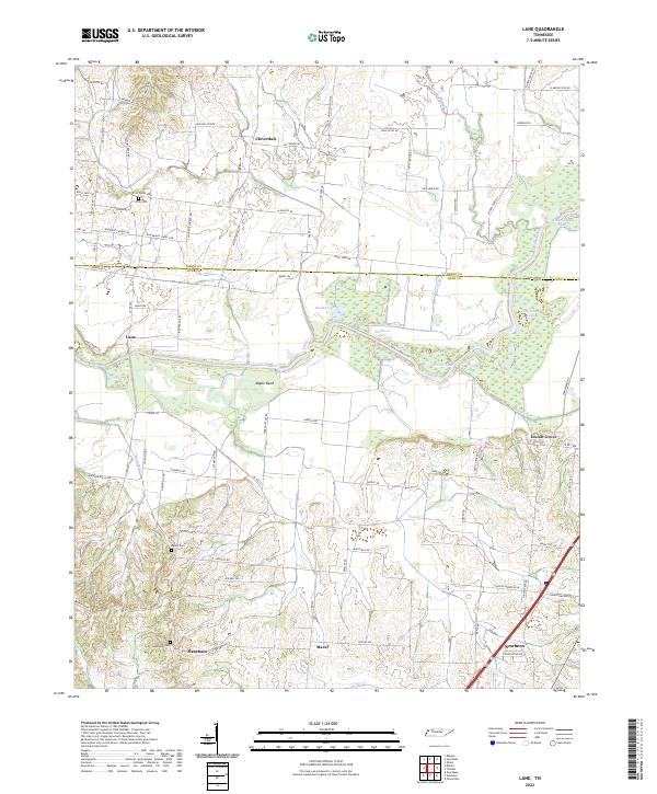
2022 Lane
Dyer County, TN
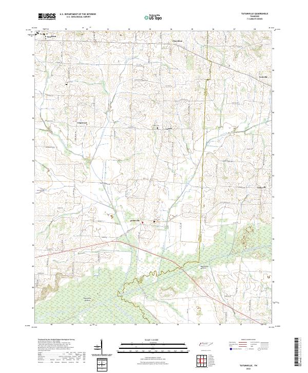
2022 Tatumville
Dyer County, TN