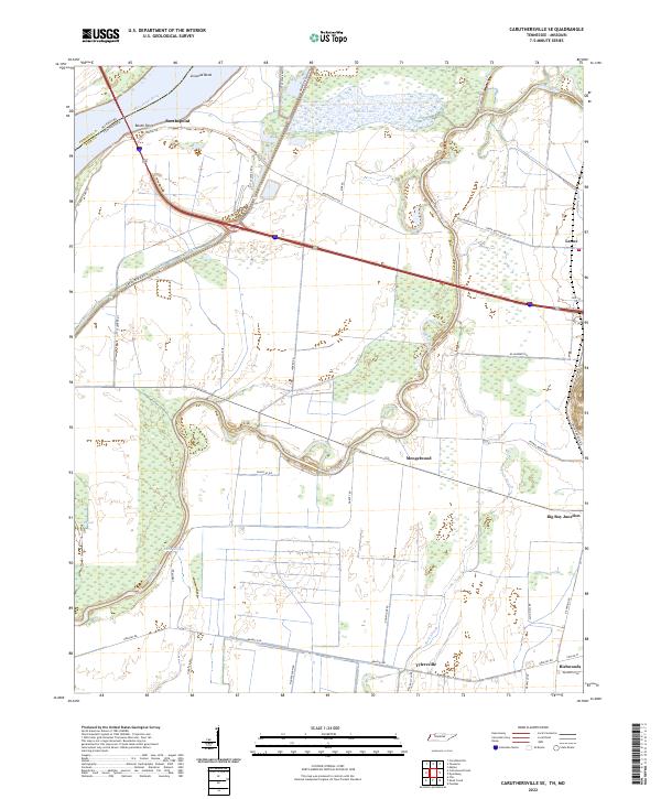
2022 Map of Caruthersville SE
USGS Topo · Published 2022About this map
Mississippi River waters define the northwestern boundary of this Dyer County landscape, where Linwood Bend and Boothpoint mark the edge of Tennessee at the Missouri border. The interior terrain is dominated by a complex network of waterways, including the winding course of the Obion River, Whites Lake, and Running Reelfoot Bayou. These hydrologic features dictate the placement of local settlements and the winding paths of rural roads like Great River Rd N and Little Levee Rd.
Find a feature on this map
45 named features on this map. Tap any name to fly to it.
Don’t see what you’re looking for? This feature index may not catch every label — zoom into the map to look around manually.
Map Details
Editions of this 2022 Caruthersville SE Map
This is the sole edition of this map. No revisions or reprints were ever made.
Other maps of this area

1939 · Dyersburg
USGS Topo · 1:62,500

1939 · Hales Point
USGS Topo · 1:62,500

1939 · Caruthersville
USGS Topo · 1:62,500

1939 · Halls
USGS Topo · 1:62,500

1951 · Caruthersville
USGS Topo · 1:62,500

1952 · Hales Point
USGS Topo · 1:62,500

1952 · Dyersburg
USGS Topo · 1:24,000

1952 · Miston
USGS Topo · 1:24,000

1952 · Fowlkes
USGS Topo · 1:24,000

1956 · Dyersburg
USGS Topo · 1:250,000