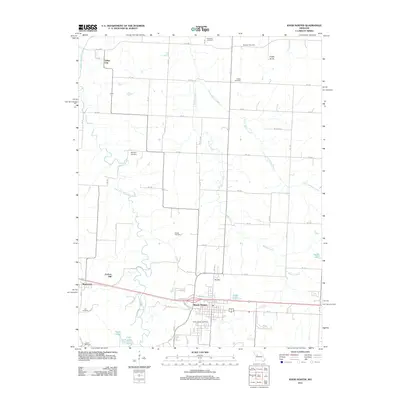
2011 Map of Knob Noster
USGS Topo · Published 2011About this map
Knob Noster and the surrounding central Missouri countryside appear in this detailed 2011 topographic study, anchored by the town's grid and its proximity to the Clear Fork Blackwater River. The landscape is a network of rural routes such as Ne 500 and Ne 750, connecting scattered farmsteads with longstanding local landmarks like Carbon Hill and the elevated Cooks Knob.
Find a feature on this map
61 named features on this map. Tap any name to fly to it.
Don’t see what you’re looking for? This feature index may not catch every label — zoom into the map to look around manually.
Map Details
Editions of this 2011 Knob Noster Map
This is the sole edition of this map. No revisions or reprints were ever made.
Other maps of this area

1885 · Warrensburg
USGS Topo · 1:125,000

1887 · Sedalia
USGS Topo · 1:125,000

1887 · Warrensburg
USGS Topo · 1:125,000

1894 · Sedalia
USGS Topo · 1:125,000

1894 · Warrensburg
USGS Topo · 1:125,000

1917 · Knobnoster
USGS Topo · 1:62,500

1939 · Sweet Springs
USGS Topo · 1:62,500

1940 · Sweet Springs
USGS Topo · 1:62,500

1941 · Sweet Springs
USGS Topo · 1:62,500

1945 · Sweet Springs
USGS Topo · 1:62,500