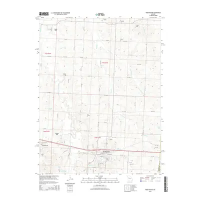
2014 Map of Knob Noster
USGS Topo · Published 2014About this map
Knob Noster serves as the primary hub of this Missouri landscape, situated where the terrain begins to rise toward distinctive local landmarks like Cooks Knob and the various Knobs to the east. The area is defined by the drainage of the Blackwater River and its tributaries, including the Clear Fork Blackwater River and Walnut Cr. The map reveals a high density of rural burial sites, such as Hocker Cemetery, Rothwell Cemetery, and Saint Joseph Cemetery, which provide essential touchpoints for family historians tracing early regional lineages.
Find a feature on this map
72 named features on this map. Tap any name to fly to it.
Don’t see what you’re looking for? This feature index may not catch every label — zoom into the map to look around manually.
Map Details
Editions of this 2014 Knob Noster Map
This is the sole edition of this map. No revisions or reprints were ever made.
Other maps of this area

1885 · Warrensburg
USGS Topo · 1:125,000

1887 · Sedalia
USGS Topo · 1:125,000

1887 · Warrensburg
USGS Topo · 1:125,000

1894 · Sedalia
USGS Topo · 1:125,000

1894 · Warrensburg
USGS Topo · 1:125,000

1917 · Knobnoster
USGS Topo · 1:62,500

1939 · Sweet Springs
USGS Topo · 1:62,500

1940 · Sweet Springs
USGS Topo · 1:62,500

1941 · Sweet Springs
USGS Topo · 1:62,500

1945 · Sweet Springs
USGS Topo · 1:62,500