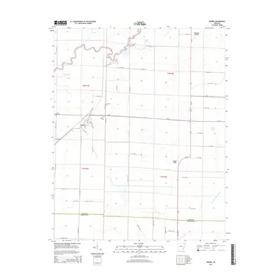
2014 Map of Knobel
USGS Topo · Published 2014About this map
The town of Knobel serves as a central hub for this northeast Arkansas landscape, where the flatlands of the Delta meet an intricate system of water management. To the northwest, the winding course of the Black River is flanked by Gum Slough and Thwait Lake, illustrating the natural drainage patterns of the region. The area's agricultural character is evident in the grid-like network of rural roads and the engineered waterways like Kramer Ditch and Cache River Ditch Number 1, which have long defined local land use. For those tracing family histories, several local landmarks provide essential points of reference, including Saint Bernard Cem just west of town, as well as the Bond Cem and Gilchrist Cem. The small settlement of Walnut Grove sits near the northern boundary, while features like Poyner Lake and Cache Lake dot the low-lying terrain, highlighting the persistent presence of water in this part of Clay County.
Find a feature on this map
62 named features on this map. Tap any name to fly to it.
Don’t see what you’re looking for? This feature index may not catch every label — zoom into the map to look around manually.
Map Details
Editions of this 2014 Knobel Map
This is the sole edition of this map. No revisions or reprints were ever made.
Other maps of this area

1935 · Rector
USGS Topo · 1:62,500

1935 · Knobel
USGS Topo · 1:62,500

1940 · Gainesville
USGS Topo · 1:62,500

1940 · Marmaduke
USGS Topo · 1:62,500

1941 · Knobel
USGS Topo · 1:62,500

1957 · Poplar Bluff
USGS Topo · 1:250,000

1958 · Marmaduke
USGS Topo · 1:62,500

1958 · Gainesville
USGS Topo · 1:62,500

1958 · Rector
USGS Topo · 1:62,500

1959 · Poplar Bluff
USGS Topo · 1:250,000