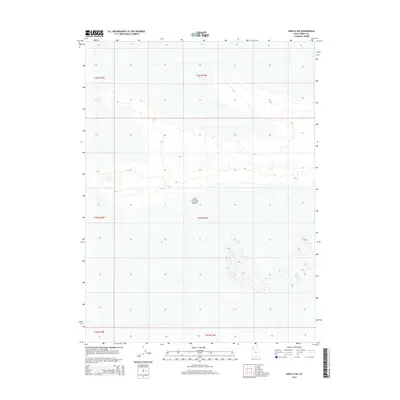
2014 Map of Knolls SW
USGS Topo · Published 2014About this map
The Great Salt Lake Desert dominates this landscape in western Utah, revealing a flat, vast expanse where topographical contours are remarkably sparse. Situated in Tooele County, this portion of the desert is defined by its expansive salt flats and minimal elevation changes, characteristic of the ancient Lake Bonneville bed. The survey focuses on the Public Land Survey System (PLSS) township and range grid, specifically showing the boundaries of t2s r15w, t2s r14w, t3s r15w, t3s r14w, t4s r15w, and t4s r14w. This 2014 edition captures the stark geography of the basin-and-range province, where the landform is primarily shaped by evaporation and mineral deposition rather than human settlement or industrial development.
Find a feature on this map
7 named features on this map. Tap any name to fly to it.
Don’t see what you’re looking for? This feature index may not catch every label — zoom into the map to look around manually.
Map Details
Editions of this 2014 Knolls SW Map
This is the sole edition of this map. No revisions or reprints were ever made.
Other maps of this area

1953 · Tooele
USGS Topo · 1:250,000

1954 · Wildcat Mtn
USGS Topo · 1:24,000

1955 · Tooele
USGS Topo · 1:250,000

1973 · Knolls SW
USGS Topo · 1:24,000

1973 · Arinosa SE
USGS Topo · 1:24,000

1973 · Arinosa NE
USGS Topo · 1:24,000

1973 · Wildcat Mountain NW
USGS Topo · 1:24,000

1973 · Knolls
USGS Topo · 1:24,000

1973 · Barro
USGS Topo · 1:24,000

1973 · Knolls SE
USGS Topo · 1:24,000