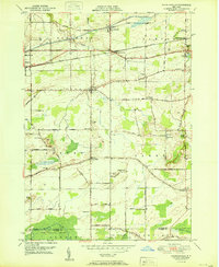
1950 Map of Knowlesville
USGS Topo · Published 1950About this map
The Erie Canal cuts through the northern reaches of this landscape, a vital corridor that shaped the development of nearby Knowlesville and Eagle Harbor Sta. Surveyed just after the war, the map reveals a rural economy heavily influenced by the drainage patterns of Fish Creek and Otter Creek, which flow toward the high ground of Ridgeway. To the south, the terrain shifts into the expansive Oak Orchard Swamp, where the Oak Orchard State Game Refuge provides a preserved contrast to the surrounding agricultural grid. This network is dotted with local heritage sites, including the Swart Culver Cem and numerous numbered schoolhouses such as School No 15, reflecting a well-established community of farmsteads and small crossroads settlements like Millville and East Shelby. The New York Central railroad parallels the canal, reinforcing the region's historic role as a transportation artery.
Find a feature on this map
60 named features on this map. Tap any name to fly to it.
Don’t see what you’re looking for? This feature index may not catch every label — zoom into the map to look around manually.
Map Details
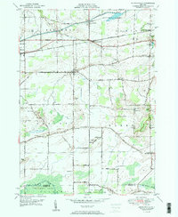
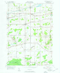
Editions of this 1950 Knowlesville Map
3 editions found
Other maps of this area

1897 · Albion
USGS Topo · 1:62,500

1897 · Medina
USGS Topo · 1:62,500

1897 · Oak Orchard
USGS Topo · 1:62,500

1897 · Ridgeway
USGS Topo · 1:62,500

1944 · Ashwood
USGS Topo · 1:31,680

1944 · Albion
USGS Topo · 1:31,680

1949 · Kendall
USGS Topo · 1:62,500
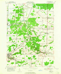
1949 · Akron
USGS Topo · 1:24,000
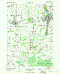
1949 · Medina
USGS Topo · 1:24,000
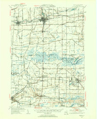
1950 · Medina
USGS Topo · 1:62,500