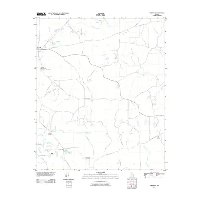
2011 Map of Knoxville
USGS Topo · Published 2011About this map
Knoxville and the nearby community of Allon serve as the primary focal points of this central Georgia landscape, where the rural topography is defined by an intricate network of waterways and early engineering works. The drainage patterns of Beaver Creek, Mossy Creek, and Deep Creek are punctuated by several significant water control structures, including the Hortmans Mill Pond Dam and JK Hogan Dam. These features suggest a history of local milling and agriculture that has shaped the modern layout of the county.
Find a feature on this map
59 named features on this map. Tap any name to fly to it.
Don’t see what you’re looking for? This feature index may not catch every label — zoom into the map to look around manually.
Map Details
Editions of this 2011 Knoxville Map
This is the sole edition of this map. No revisions or reprints were ever made.
Other maps of this area

1951 · Yatesville
USGS Topo · 1:62,500

1955 · Phenix City
USGS Topo · 1:250,000

1956 · Fort Valley
USGS Topo · 1:62,500

1956 · Bolingbroke
USGS Topo · 1:62,500

1957 · Phenix City
USGS Topo · 1:250,000

1957 · Macon
USGS Topo · 1:250,000

1958 · Macon
USGS Topo · 1:250,000

1958 · Phenix City
USGS Topo · 1:250,000

1964 · Macon
USGS Topo · 1:250,000

1971 · Reynolds
USGS Topo · 1:24,000