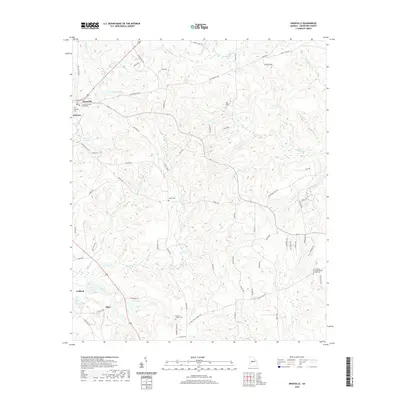
2020 Map of Knoxville
USGS Topo · Published 2020About this map
Knoxville and Roberta serve as the primary hubs in this central Georgia landscape, centered on the Crawford County Courthouse. The terrain is defined by a dense network of tributaries including Culpepper Cr, Sweetwater Cr, and Mossy Cr, which feed into local landmarks like Hortons Millpond. The settlement pattern follows older arterial routes like Old Knoxville Rd, connecting several small community centers such as Gaillard and Allon. Genealogists will find a wealth of burial records across the quadrangle, ranging from the Old Bethel Cem to the Little Union Primitive Baptist Church Cem. The distribution of these sites, alongside names like Gordon Chapel Cem and Powell Cem, provides a clear view of the rural family and congregational foundations that shaped Crawford County.
Find a feature on this map
75 named features on this map. Tap any name to fly to it.
Don’t see what you’re looking for? This feature index may not catch every label — zoom into the map to look around manually.
Map Details
Editions of this 2020 Knoxville Map
This is the sole edition of this map. No revisions or reprints were ever made.
Other maps of this area

1951 · Yatesville
USGS Topo · 1:62,500

1955 · Phenix City
USGS Topo · 1:250,000

1956 · Fort Valley
USGS Topo · 1:62,500

1956 · Bolingbroke
USGS Topo · 1:62,500

1957 · Phenix City
USGS Topo · 1:250,000

1957 · Macon
USGS Topo · 1:250,000

1958 · Macon
USGS Topo · 1:250,000

1958 · Phenix City
USGS Topo · 1:250,000

1964 · Macon
USGS Topo · 1:250,000

1971 · Reynolds
USGS Topo · 1:24,000