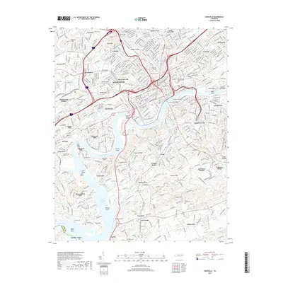
2019 Map of Knoxville
USGS Topo · Published 2019About this map
The Tennessee River carves a deep path through this landscape, defining the character of the city as it appeared in the late 2010s. The river's influence is evident from the commercial core at Summit Hill to the suburban residential developments of Island Home and Sequoyah Hills. Prominent ridges like Chapman Ridge and Rodgers Ridge break the urban grid, while the Henley Street Bridge and Gay Street Bridge provide critical connections across the water.
Find a feature on this map
99 named features on this map. Tap any name to fly to it.
Don’t see what you’re looking for? This feature index may not catch every label — zoom into the map to look around manually.
Map Details
Editions of this 2019 Knoxville Map
This is the sole edition of this map. No revisions or reprints were ever made.
Other maps of this area

1886 · Knoxville
USGS Topo · 1:125,000

1892 · Knoxville
USGS Topo · 1:125,000

1893 · Briceville
USGS Topo · 1:125,000

1894 · Knoxville
USGS Topo · 1:125,000

1895 · Loudon
USGS Topo · 1:125,000

1895 · Briceville
USGS Topo · 1:125,000

1895 · Knoxville
USGS Topo · 1:125,000

1896 · Briceville
USGS Topo · 1:125,000

1897 · Maynardville
USGS Topo · 1:125,000

1900 · Maynardville
USGS Topo · 1:125,000