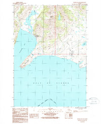
1987 Map of Kodiak B-2 NE
USGS Topo · Published 1988About this map
Pasagshak Point and the jagged southern coastline of Kodiak Island define this landscape, where the land meets the Gulf of Alaska. The interior is characterized by freshwater systems like Rose Tead Lake and several smaller bodies of water such as Lupin Lake and Bull Lake. These water resources, combined with the presence of the Pasagshak State Recreation Site, suggest an area managed for public use and conservation during the late 1980s.
Find a feature on this map
21 named features on this map. Tap any name to fly to it.
Don’t see what you’re looking for? This feature index may not catch every label — zoom into the map to look around manually.
Map Details
Editions of this 1987 Kodiak B-2 NE Map
This is the sole edition of this map. No revisions or reprints were ever made.
Other maps of this area

1949 · Kodiak C-2
USGS Topo · 1:63,360

1949 · Kodiak B-1 and B-2
USGS Topo · 1:63,360

1949 · Kodiak C-1
USGS Topo · 1:63,360

1951 · Kodiak B-1 and B-2
USGS Topo · 1:63,360

1951 · Kodiak C-1
USGS Topo · 1:63,360

1952 · Kodiak
USGS Topo · 1:250,000
1987 · Kodiak C-1 SW
USGS Topo · 1:25,000
1987 · Kodiak B-1 NW
USGS Topo · 1:25,000
1987 · Kodiak C-2 SE
USGS Topo · 1:25,000
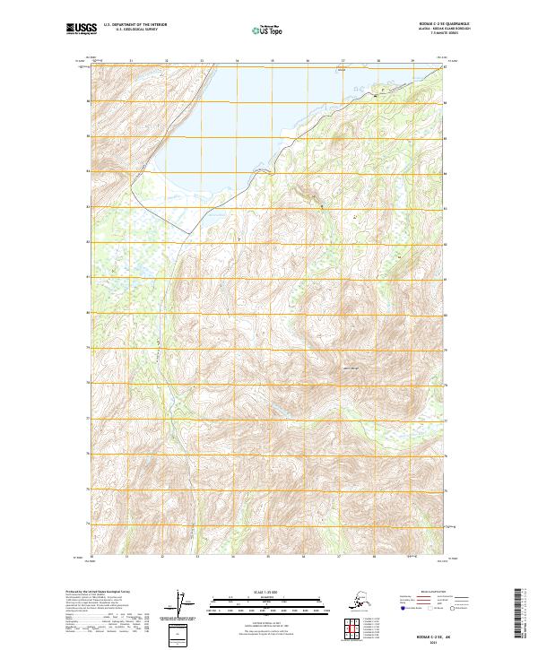
2021 · Kodiak C-2 SE
USGS Topo · 1:25,000