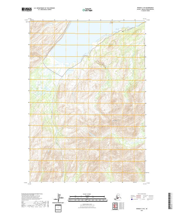
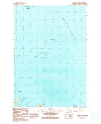
2021 Map of Kodiak C-2 SE
USGS Topo · Published 2021About this map
Coastal drainages and high ridges dominate this 2021 landscape on Kodiak Island, where the Chiniak Highway and Pasagshak Road provide the primary terrestrial access routes. The interior is defined by the steep elevation of the Marin Range, which sheds water into a complex network of streams including the Sacramento River and the Olds River. Near the shoreline, the terrain levels out into features like Kalsin Pond and the tidal reaches of Kalsin Cr.
Find a feature on this map
20 named features on this map. Tap any name to fly to it.
Don’t see what you’re looking for? This feature index may not catch every label — zoom into the map to look around manually.
Map Details
Editions of this 2021 Kodiak C-2 SE Map
This is the sole edition of this map. No revisions or reprints were ever made.
Other maps of this area

1949 · Kodiak C-2
USGS Topo · 1:63,360

1949 · Kodiak B-1 and B-2
USGS Topo · 1:63,360

1949 · Kodiak C-1
USGS Topo · 1:63,360

1951 · Kodiak B-1 and B-2
USGS Topo · 1:63,360

1951 · Kodiak C-1
USGS Topo · 1:63,360

1952 · Kodiak
USGS Topo · 1:250,000
1987 · Kodiak C-1 SW
USGS Topo · 1:25,000
1987 · Kodiak C-2 NW
USGS Topo · 1:25,000
1987 · Kodiak C-2 NE
USGS Topo · 1:25,000
1987 · Kodiak C-1 NW
USGS Topo · 1:25,000