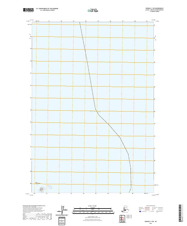
2021 Map of Kodiak C-1 NE
USGS Topo · Published 2021About this map
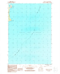
Ugak Island and the smaller Chiniak Island stand as prominent landforms in this coastal Alaskan landscape, situated where the North Pacific waters meet the rugged shoreline of Kodiak. The map predominantly features the open expanse of the Gulf of Alaska, with the island features clustered in the lower-left corner, providing a clear view of the maritime boundaries and the isolated nature of these landmasses. Surveyed boundaries for t28s r18w and t29s r18w define the administrative layout of this maritime region, illustrating the systematic partitioning of even the most remote island territories during the early 21st century. This cartographic study focuses on the intersection of maritime geography and public land surveys, tracing the perimeter of these islands against the vast sea.
Find a feature on this map
5 named features on this map. Tap any name to fly to it.
Don’t see what you’re looking for? This feature index may not catch every label — zoom into the map to look around manually.
Map Details
Editions of this 2021 Kodiak C-1 NE Map
This is the sole edition of this map. No revisions or reprints were ever made.
Other maps of this area

1949 · Kodiak C-1
USGS Topo · 1:63,360

1949 · Kodiak D-1
USGS Topo · 1:63,360

1951 · Kodiak D-1
USGS Topo · 1:63,360

1951 · Kodiak C-1
USGS Topo · 1:63,360

1952 · Kodiak
USGS Topo · 1:250,000
1987 · Kodiak C-1 SW
USGS Topo · 1:25,000
1987 · Kodiak D-1 SW
USGS Topo · 1:25,000
1987 · Kodiak C-1 NW
USGS Topo · 1:25,000
1987 · Kodiak C-1 SE
USGS Topo · 1:25,000
1987 · Kodiak C-1 NE
USGS Topo · 1:25,000